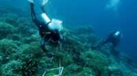

- The initiative aims to collect scientific data to support the development of effective and adaptive management plans for marine protected areas. These plans are expected to accommodate both ecosystem protection and the sustainable use of marine resources.
- The survey forms part of the process of developing a marine protected area in the Lucipara Islands, which the Maluku Provincial Government has designated for conservation planning through Maluku Provincial Regulation No. 2 of 2025 on the Maluku Provincial Spatial Plan for 2025–2044.
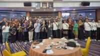
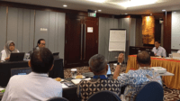
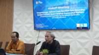
MARITIMEPOSTS.COM — The Maluku Provincial Marine Affairs and Fisheries Office (DKP), together with the Nusantara Nature Conservation Foundation (YKAN), the Coral Triangle Center (CTC), and local partners including the Baileo Maluku Foundation, the Sahari Foundation, academics, researchers, and local communities, is conducting an integrated survey in the Banda Sea.
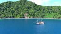
The survey is taking place across the Lucipara Islands, Teon Island, Manuk Island, Hatta Island, and Manukang Island from October 15 to 29, 2026.
The initiative aims to collect scientific data to support the development of effective and adaptive management plans for marine protected areas. These plans are expected to accommodate both ecosystem protection and the sustainable use of marine resources.
The survey forms part of the process of developing a marine protected area in the Lucipara Islands, which the Maluku Provincial Government has designated for conservation planning through Maluku Provincial Regulation No. 2 of 2025 on the Maluku Provincial Spatial Plan for 2025–2044.
Preparing a management plan and zoning document is an important requirement before the central government can formally designate the area as a marine protected area.
Indonesia currently has approximately 30.9 million hectares of marine conservation areas, with a national target of increasing this figure to 97.5 million hectares by 2045.
To support this national target, the Maluku Provincial Government and its partners have initiated the development of a proposed conservation area covering 388,712.10 hectares in the waters surrounding the Lucipara Islands in the Banda Sea.
The proposed area is intended not only to protect critical habitats and marine biodiversity, but also to support the development of the Banda Sea in Maluku as a national fishery hub, while promoting equitable natural resource management that benefits local communities.
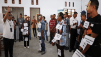
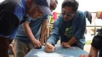
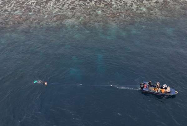
From a spatial perspective, the survey includes aerial photography and participatory mapping to document marine resource use, the distribution of important marine habitats, and land use and infrastructure on the islands being surveyed.
Scientific Data as the Foundation for Conservation
Erawan Asikin, Head of the Maluku Provincial Marine Affairs and Fisheries Office, said the survey represents an important step toward preparing the management plan and securing the formal designation of the Lucipara Islands conservation area.
He explained that, in line with the direction of Maluku Governor Hendrik Lewerissa, the provincial government hopes to protect the Lucipara Islands from illegal fishing and other activities that damage marine ecosystems.
“The Maluku Provincial Government is strongly committed to supporting marine conservation while ensuring that coastal and marine resources continue to benefit local communities. Therefore, every stage leading to the designation of a conservation area must be supported by credible data and involve a range of stakeholders,” Erawan said.
“We also hope that, with appropriate protection and management, this area can develop into a world-class marine tourism destination that delivers ecological, social, and economic benefits to the people of Maluku,” he added.
Muhammad Ilman, YKAN’s Marine Program Director, emphasized the importance of a science-based approach to designing marine protected areas.
He explained that the survey is designed to generate biophysical, fisheries, socioeconomic, and marine spatial-use data that will inform future management decisions.
The data will help identify important habitats, areas of high conservation value, fish spawning grounds, opportunities for sustainable economic development, and patterns of resource use by local communities.
“Effective marine protected areas cannot be established on the basis of perceptions alone; they must be grounded in scientific evidence. Through this survey, we aim to develop a comprehensive understanding of ecosystem conditions, important habitats, fish spawning grounds, and how communities use marine resources.
“These data will provide the foundation for developing zoning plans that accommodate the protection of biodiversity, sustainable fisheries management, and the well-being of coastal communities,” Ilman explained.
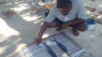
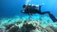
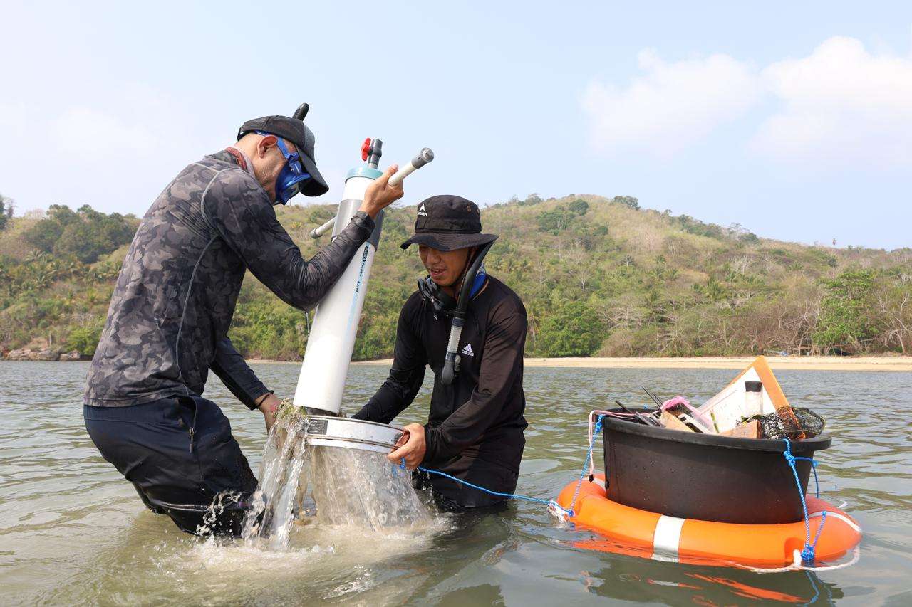
The survey covers a wide range of research activities, including benthic habitat mapping; mangrove and seagrass assessments; coral reef health and resilience monitoring; marine mammal and sea turtle surveys; identification of potential fish spawning grounds; blue carbon measurements; land-use mapping using unmanned aerial vehicles (UAVs); fisheries surveys; community socioeconomic assessments; and evaluations of coastal community resilience to climate change.
All collected data will be compiled to support the preparation of a comprehensive, evidence-based zoning plan for the proposed marine protected area.
Protecting the Banda Sea’s Marine Biodiversity
Rili Djohani, Executive Director of the Coral Triangle Center, highlighted the ecological importance of the Lucipara Islands and the surrounding waters of the Banda Sea as part of Indonesia’s highly biodiverse marine landscape within the global Coral Triangle.
According to Rili, the area provides important habitats for numerous marine species and performs ecological functions that require effective protection and management.
“The Lucipara Islands are located in the Banda Sea, which is known for its important coral reef ecosystems. These reefs provide habitats for various rare, threatened, and protected marine species, including sea turtles, whales, and dolphins, while also supporting fisheries productivity in the surrounding waters,” she said.
“These ecological values make the area particularly important to manage sustainably. This survey will help integrate ecological data with local knowledge and the cultural values of surrounding communities, enabling us to identify key areas that should be prioritized for protection while ensuring that resource use continues responsibly,” Rili explained.
The proposed conservation area will also incorporate community-based, rights-based fisheries management through Territorial Use Rights for Fishing (TURF), working alongside Indigenous communities and guided by the principles of Free, Prior, and Informed Consent (FPIC).
This approach combines the ecological knowledge held by local communities with scientific data and analysis to develop a more effective and sustainable management model.
Through collaboration among government institutions, communities, conservation organizations, academics, and other partners, the Lucipara Islands conservation area is expected to become a model for marine management that protects the biodiversity of the Banda Sea while delivering long-term benefits to coastal communities.